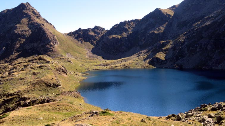
Pour télécharger directement les points, cliquez sur l'image ci-dessous
| Port de Siguer - Étang Blaou | |||
| Nord | Est | ||
| PSEB 01 | 1780m | 42°37'34.5" | 1°33'06.7" |
| PSEB 02 | 1863m | 42°37'42.7" | 1°33'25.8" |
| PSEB 03 | 1947m | 42°38'08.8" | 1°33'38.3" |
| PSEB 04 | 1970m | 42°38'18.0" | 1°33'37.0" |
| PSEB 05 | 1975m | 42°38'21.1" | 1°33'37.6" |
| PSEB 06 | 2027m | 42°38'36.9" | 1°33'35.4" |
| PSEB 07 | 2043m | 42°38'40.1" | 1°33'32.1" |
| PSEB 08 | 2075m | 42°38'42.1" | 1°33'31.3" |
| PSEB 09 | 2094m | 42°38'43.9" | 1°33'31.0" |
| PSEB 10 | 2169m | 42°38'48.8" | 1°33'34.4" |
| PSEB 11 | 2214m | 42°38'51.6" | 1°33'36.5" |
| PSEB 12 | 2242m | 42°38'54.1" | 1°33'38.6" |
| PSEB 13 | 2288m | 42°38'57.6" | 1°33'39.6" |
| PSEB 14 | 2397m | 42°39'10.4" | 1°33'48.6" |
| PSEB 15 | 2400m | 42°39'09.5" | 1°33'58.9" |
|
Pour télécharger directement les points, cliquez sur l'image ci-dessous
|
|||
| Les coordonnées sont au format WGS84. | |||